| Whitwell Local History Group Homepage |
Programme | A Parish
History | Parish Survey |Other
Documents | Links
Enquiries |
Photo Page | Latest Changes
|
|
|
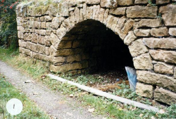
Gipsyhill Quarry - Two linked quarries Grid Ref SK 51027780 Private entrance behind present Gipsyhill Farmhouse - see separate record.
Curved track from house courtyard leads to quarry entrance. Stone archway on south side is the entrance to a 6-foot deep alcove, shelter for quarrymen when blasting and recording loads. Possibly deeper when quarry in use. This track has stone walls 8 feet high on North, and 5 feet 6 inches on South.
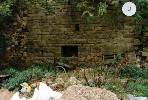
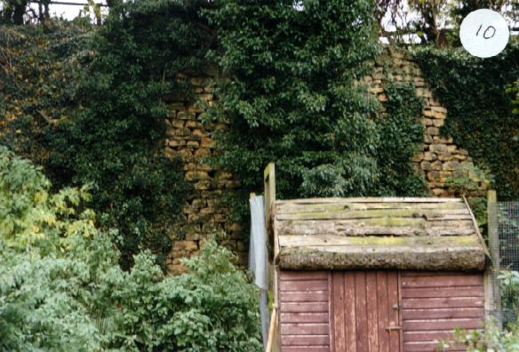
First quarry contained farm buildings, remains can be seen in these photographs. Now used as builders store. Note height of stone retaining walls.
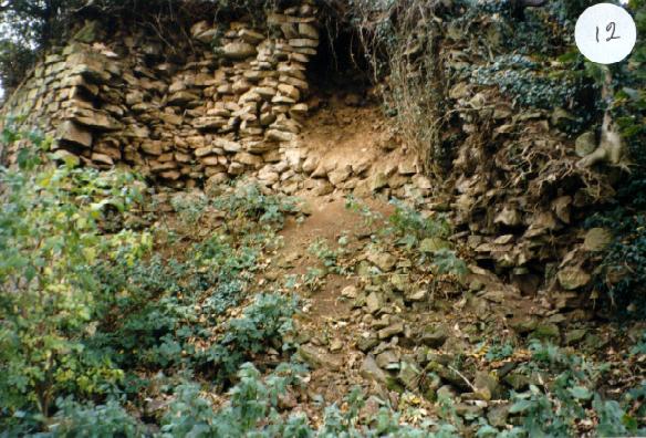
Centre of first quarry - natural rock outcrop with joist holes, now blocked with brick, from earlier building.
Boreholes for blasting on rock outcrop in centre, (see plan).
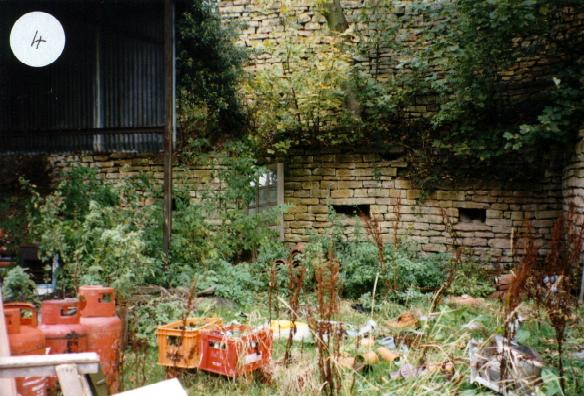
General view of other side of first quarry, very much filled, owner reports roof of railway wagon visible here in 1993 when they moved in. Since covered.
High retaining wall, old shed and wire enclosure used for poultry at one time.
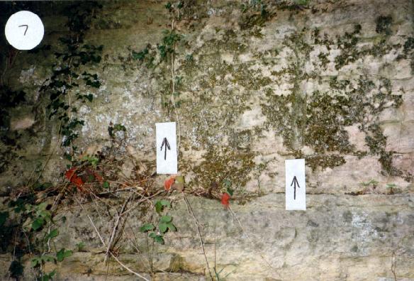
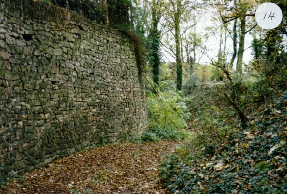
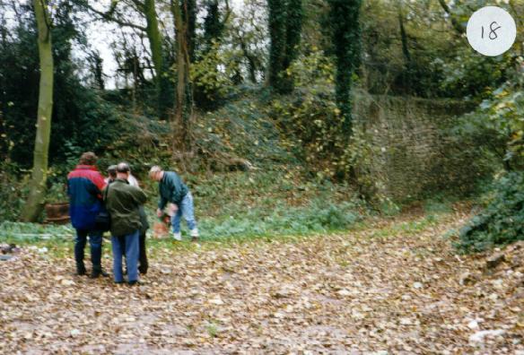
The workers. Curved track to second quarry bordered on south side by 15-foot stone retaining wall, north side natural slope of rock with ash and sycamore trees growing.
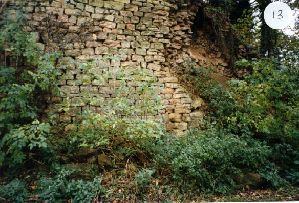
Showing end of 15-foot wall in first quarry where it is decaying, note thickness of wall in photograph 12.
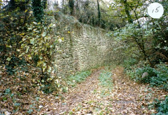
Views of the track from entrance to second quarry, looking back to first quarry.
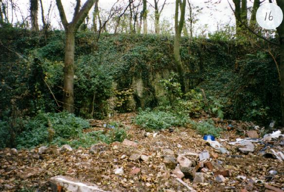
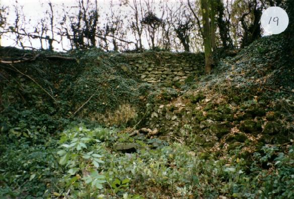
General view of second quarry, looking south - note rubble filling.
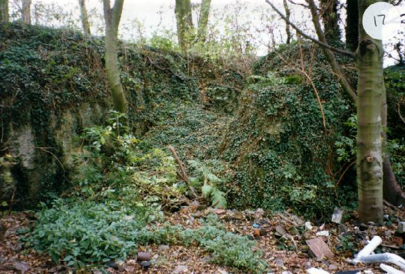
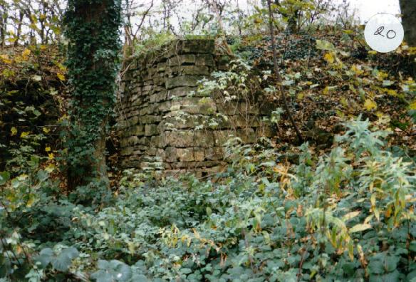
Close up of 16 showing rock fall or possibly entrance to quarry from Commonside Farm. On 1883 OS map, a track is shown going north to the quarry, also visible on 1954 aerial photograph.
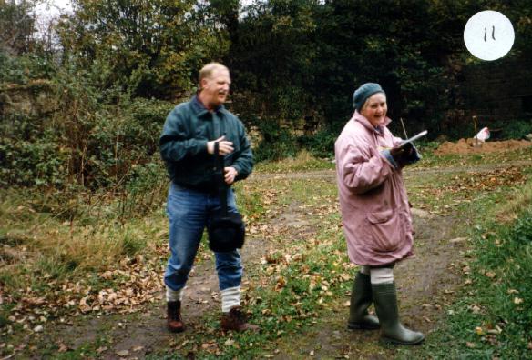
Working party comparing measurements. Track to quarry 1 shown on right.
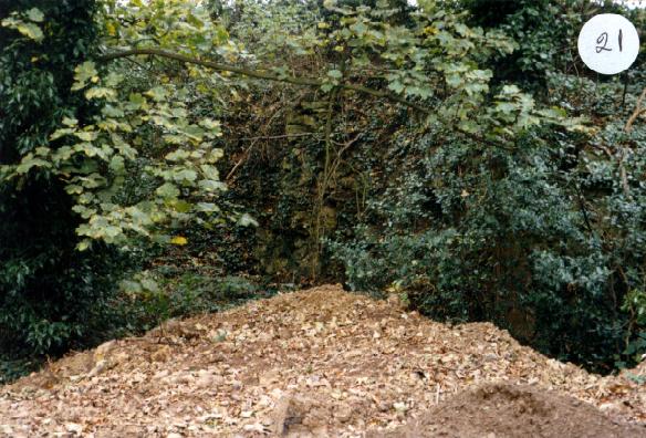
Opposite side of quarry 2 - nature taking over.
In filling, which brings us to wonder about the original depth of these quarries. 1823 Allotment Map - no quarry shown. 1839 Tithe Map - quarry is there, so was started sometime between these dates. It was in constant use as it belonged to the Duke of Portland, and the stone was used at Welbeck for the 5th Duke's many building projects. Quarry closed.
|
|
|
| Back to top | |