|
[Home]
[Up]
| |
Limestone Quarry
(Off
A619)
Grid Ref SK50907725
| Situation: |
East of Springfield Farm |
|
West of Gipsyhill Lane |
|
South of Walls Lane |
|
North of A619 |
Present Condition - Disused for many years, possibly 100 years, and very overgrown with
nettles, etc. Twelve to fifteen
feet deep despite having been used to dump stone and concrete troughs as well as
rubble. Edge of quarry, a neglected
hedge of hawthorn, hazel, blackthorn and dog rose with broken fencing and gaps.
Original access from present A619 extant as a gap in the present hedge
and track across field.
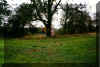 |
1/
Some of the working party by ash tree in North East corner of quarry |
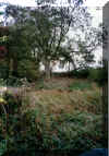 |
2/
General view across quarry in South West/North East direction.
Ash tree as in photograph 1 |

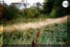 |
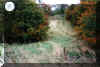
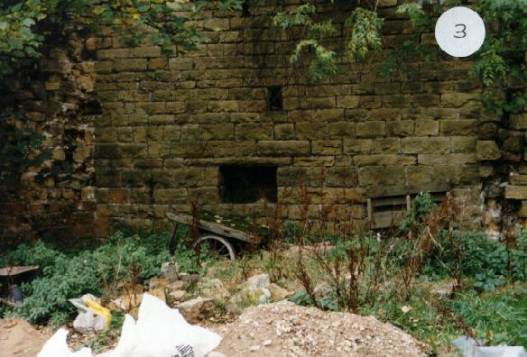
3/4
Panoramic views across quarry looking north.
The far side of number 3 is where the building would have been |
 |
5/
Entrance sloping down into quarry from field at A619 |
 |
6/7
Two places where the quarry face was visible |
 |
8/
Example of undergrowth in quarry bottom |
 |
9/
Troughs, etc |
| History |
Earliest record so far |
| 1823 |
Annexation of land map is shown, but
difficult for detail |
| 1839 |
Tithe map marked as stone quarry |
1883
1899
1923 |
OS maps - called Old Quarry in a
separate field with hedges on all sides and an
oblong building along
the North West wall (see plan). |
| |
|


